
The following update relates to High Temperatures the week of Tuesday, July 22, through Thursday, July 24, 2025. The sources are National Weather Service (NWS) of the Quad Cities, as well as the Decision Support Service document from NWS Quad Cities and Chicago, IL.
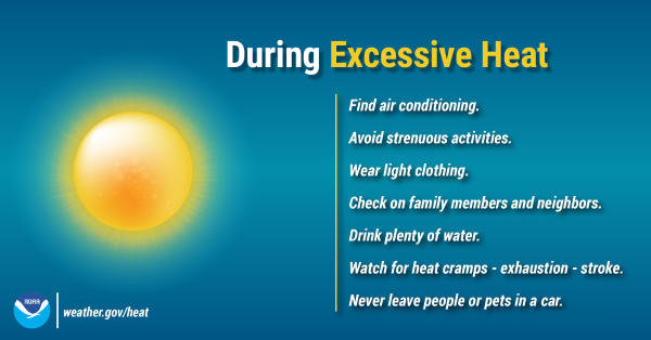
Whiteside County is not currently under a Heat Advisory from NWS of the Quad Cities today. However, we are under an Extreme Heat Watch Wednesday through Thursday. Make sure you know how to stay cool if temperatures rise. Remember that storms or excessive heat in the area can lead to power outages. Stay up to date on the forecast at weather.gov/quadcities and visit ready.gov/heat for more tips on preparing.
There is a Heat Advisory in effect today from noon to 7:00 p.m., mainly for areas of Cedar Rapids, IA, to Princeton, IL, south. Expect peak heat index readings around 100 up to 105. If clouds linger into this afternoon, then temperatures will be impacted, ie. lower than forecasted.
This evening from 6:00 to 10:00 p.m., there is a Marginal Risk (level 1 of 5) for isolated severe storms, mainly near and north of Interstate 80. At this time, there is uncertainty on storm coverage and strength.
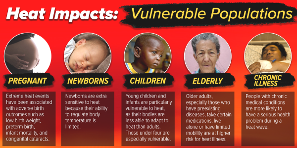
Area-wide the Extreme Heat Watch remains in effect Wednesday though Thursday. Confidence is high on Wednesday being the hottest day of the stretch, with Heat Index readings of 100 to 110.
Dangerously hot conditions will likely continue into Thursday, for parts of the area. A cold front will bring increasing clouds and storm chances, which will impact temperatures. Currently the area most favored for dangerous heat to continue Thursday (Heat index 100+) is along, and especially east of, the Mississippi River.